Español
 Italiano
 English
 Français
 Euskara
 Català
 Deutsch
 Nederlands
 Português
 Shqiptare
 Български
 Čeština
 Ελληνικά
 Hrvatski
 Magyar
 Македонски
 Polski
 Română
 Српски
 Slovenský
 Slovenščina
 Türkçe
 Русский
 Dansk
 Suomalainen
 Íslenskur
 Norsk
 Svenska



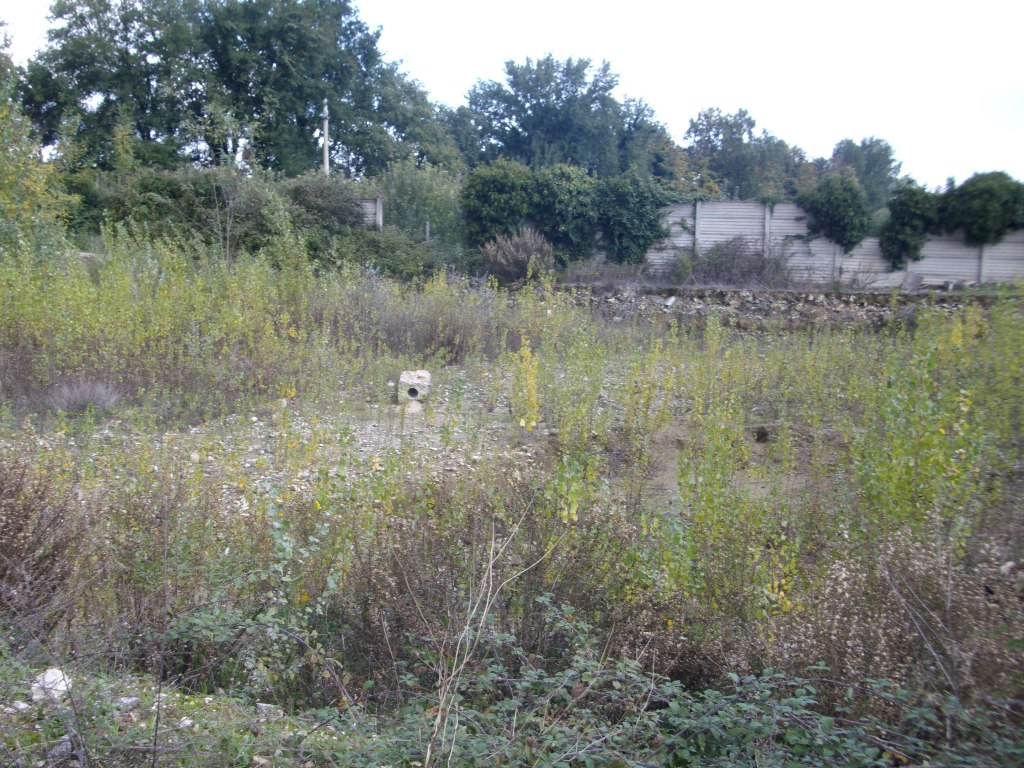
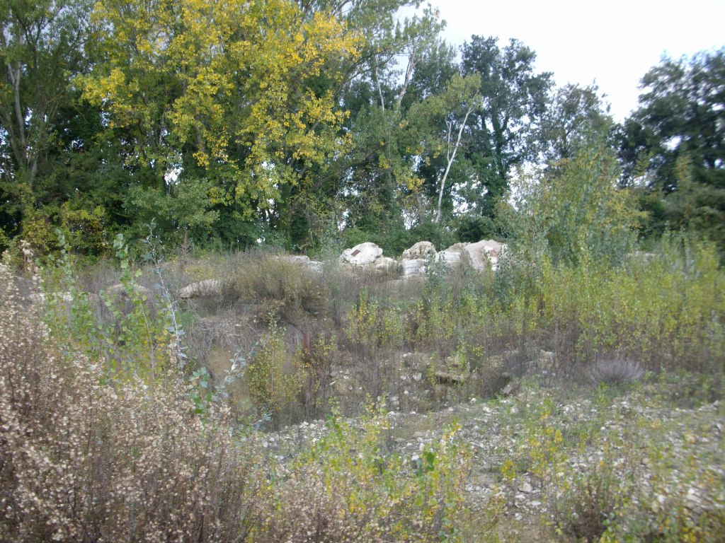
AT AUCTION Building plot in Bettona (PG), Via Topino, Passaggio di Bettona - OFFERS INVITED
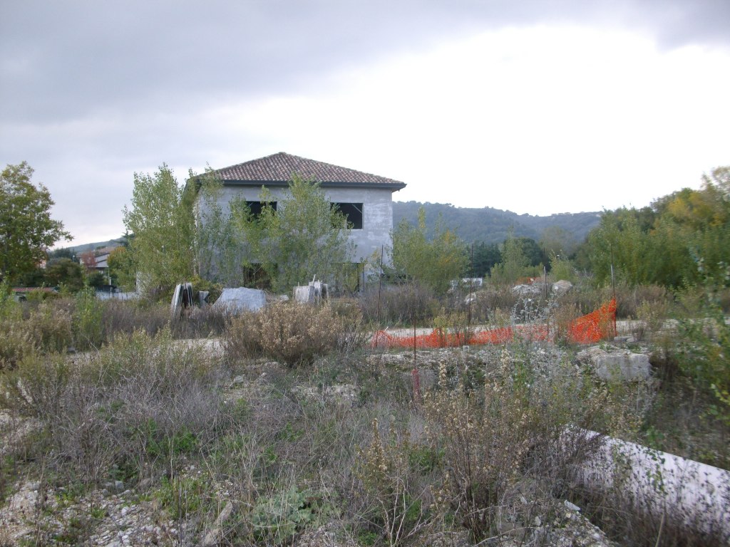
The property is located in the hamlet of Passaggio, approximately 4 km from the town centre of Bettona, approximately 6 km from the "Bastia Umbra" junction of State Road 75 and approximately 9 km from the "Deruta Nord" junction of State Road 3bis.
It has an area of 5,450 sqm.
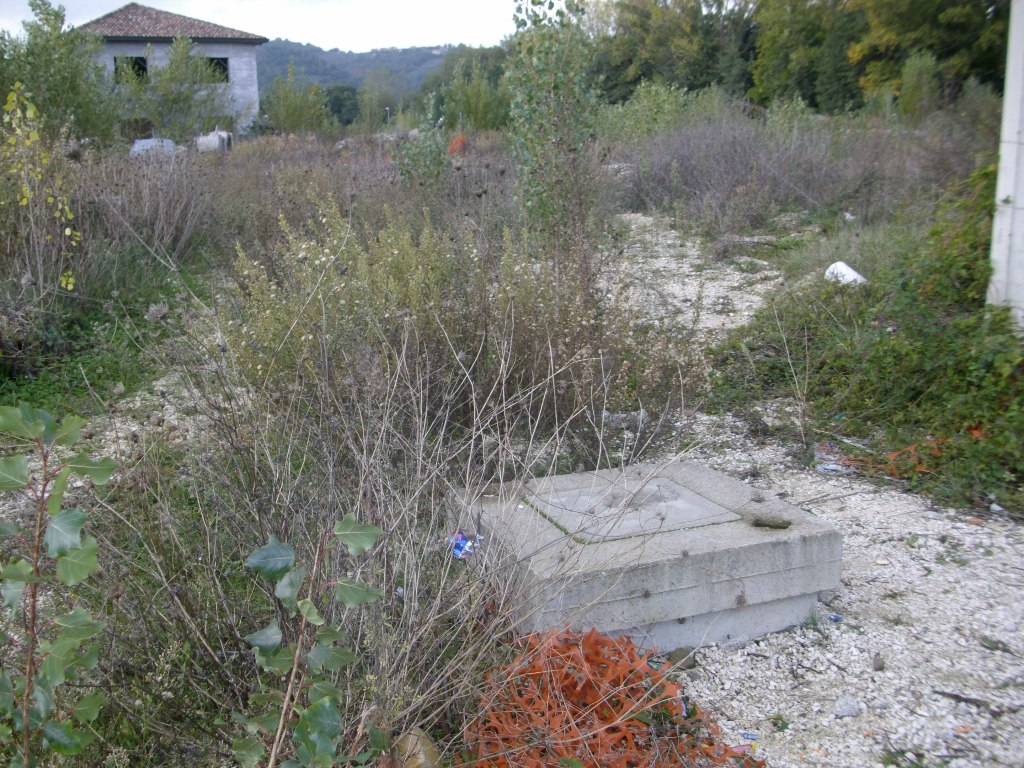
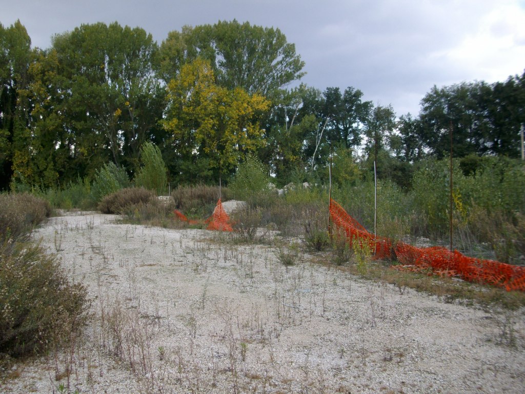
The plot is irregular in shape, unfenced and accessible via the municipal road. It has a building volume of 11,226 cubic metres, with residential-commercial-office use.
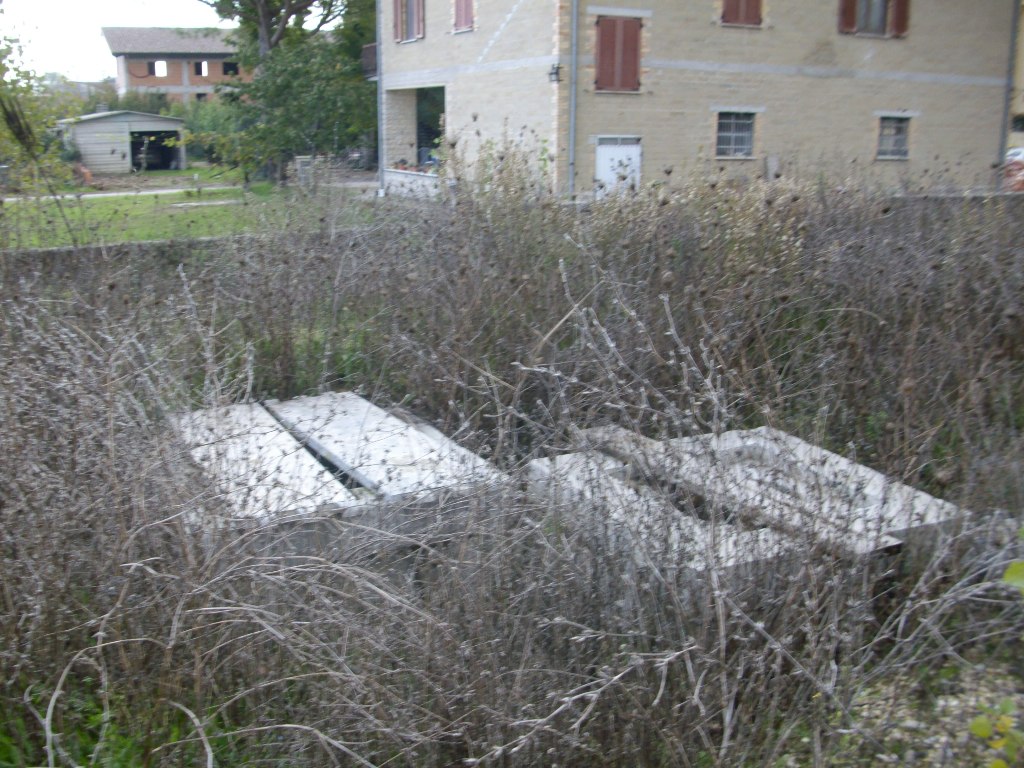
At present, the infrastructure works have been started but remain almost entirely unfinished; the sewer line and part of the road base for the connecting road have been completed.
Before carrying out any work on this plot, all infrastructure works and flood-protection works must be completed, unless a new planning agreement is entered into with the Municipality of Bettona providing for the exclusion of the plots in question from the remainder of the development area.
Under the current General Regulatory Plan, the plot is included in a P.U.C. area and also falls within:
- "Area of high aquifer vulnerability", governed by Art. 32, para. 6 of the technical regulations of the current General Regulatory Plan, structural section, as amended by Municipal Council Resolution No. 39 of 15/07/2015;
- "River areas" (river buffer zones), protected pursuant to Art. 142, para. 1, letter c), of Legislative Decree No. 42/2004;
- "Area of landscape interest - watercourse buffer zones" - Art. 39, para. 4, letter b) of the PTCP;
- partly within zones "A", "B" and "C", delineated by the envelope curves of the boundaries of zones A, B and C, defined respectively in the documents of the PAI adopted by Resolution No. 114 of 5 April 2006 (Map 11 - River zones and risk areas), in the study prepared by the Umbrian Land Reclamation Consortium, "Flood Hazard and Risk Maps for the Topino River and Marroggia Stream Basin" (document 13N, Map 4n - Dec. '04), and in the hydraulic study of the Sambro Stream prepared by the Municipality of Bettona.
Land Registry of the Municipality of Bettona, Sheet 11:
Parcel 726 - Category F/1 - Area 5,450 sqm
For further information, please consult the valuation report and the attached documentation.
Area: 5.450 sqm
Property: Full property