 Español
 Italiano
 English
 Français
 Euskara
 Català
 Deutsch
 Nederlands
 Português
 Shqiptare
 Български
 Čeština
 Ελληνικά
 Hrvatski
 Magyar
 Македонски
 Polski
 Română
 Српски
 Slovenský
 Slovenščina
 Türkçe
 Русский
 Dansk
Dansk Suomalainen
 Íslenskur
 Norsk
Norsk Svenska


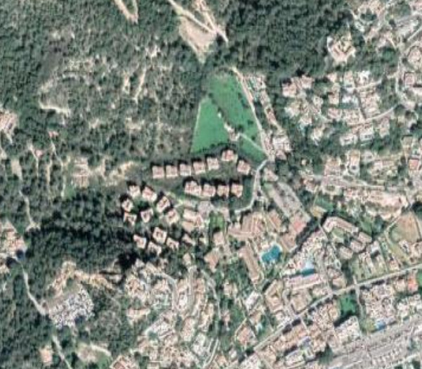
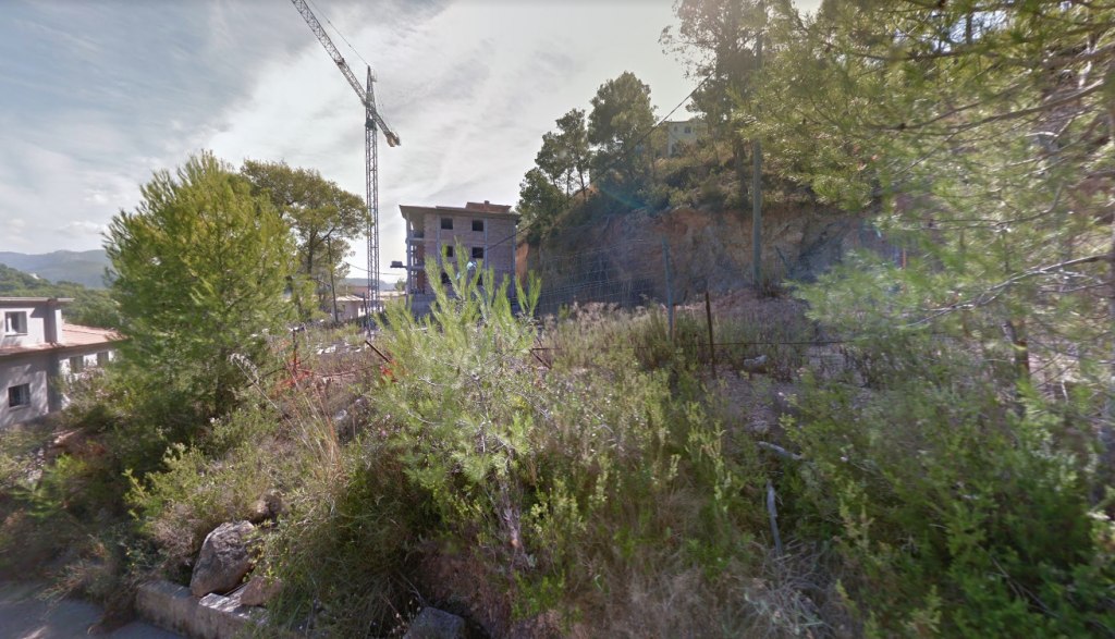
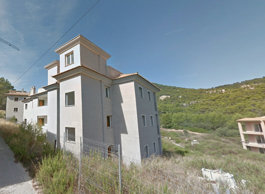
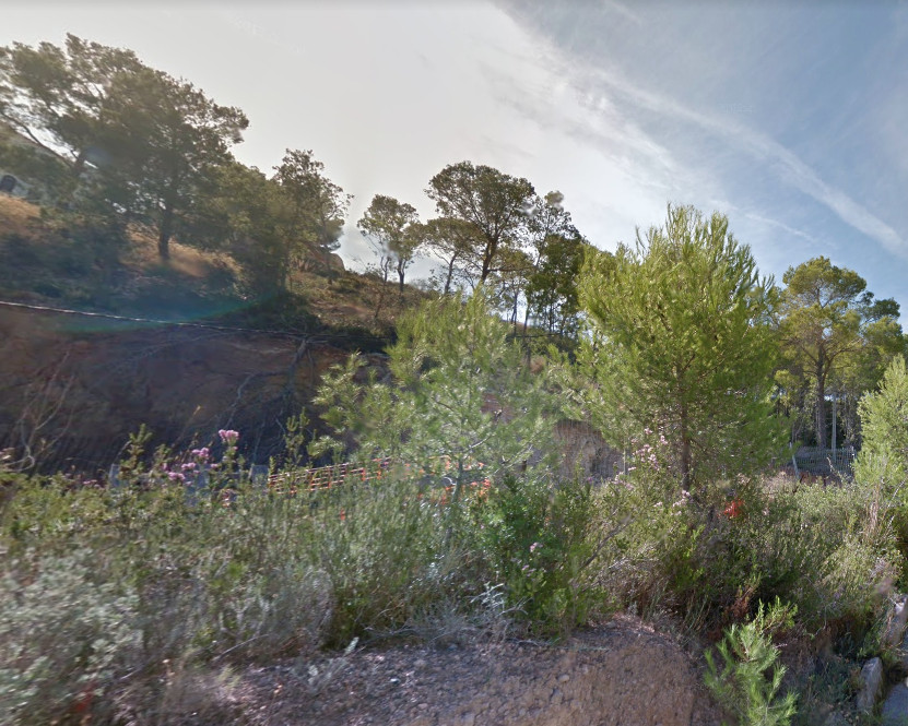
Land in Andratx - Balearic Islands - Calle del Ramat 2
Cadastral Reference- 6979317DD4768S0001ZU – sqm 11,618
Finca n. 18783
Portion of land classified as urbanized according to the General Plan, - now not buildable - coming from the farm called "S'ALMUDAINA", in the homonymous settlement, by the Municipality of Andratx, now located in Calle Ramat, Sector IV, Polygon 14 / 18. It is crossed by a stream.
The catastral reference does not coincide with el plano de la escritura obra nueva
For further information consult the appraisal and the attached documentation.
Area: 11.618 sqm
Particella: 18783